


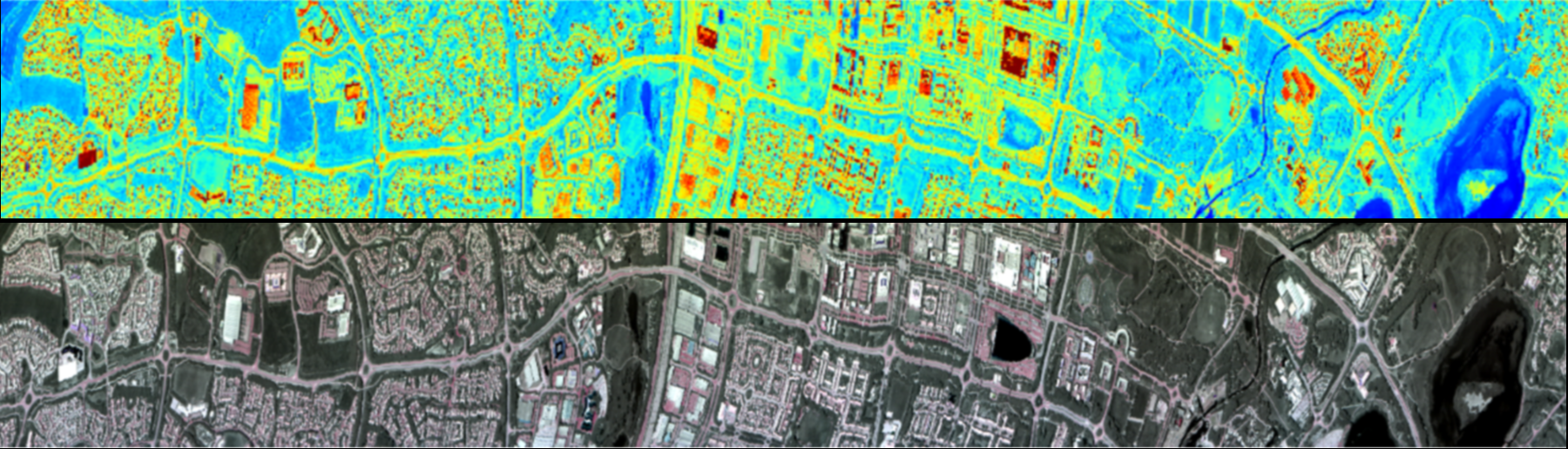

The joint NASA-ESA (funded) Temperature Sensing Experiment (NET-Sense) was planned and conducted in support of a proposed European future Sentinel satellite mission. The Land Surface Temperature Monitoring (LSTM) mission will address water, agriculture and food security issues by monitoring the variability of land surface temperature (LST) and evapotranspiration (ET) at the European field scale at high temporal resolution. NET-Sense collected airborne and ground-based data which is being used to simulate different LSTM designs and test candidate algorithms for producing the expected LST and ET data products.
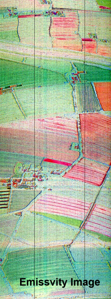
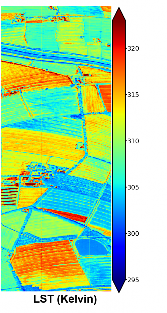
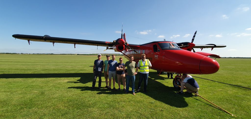
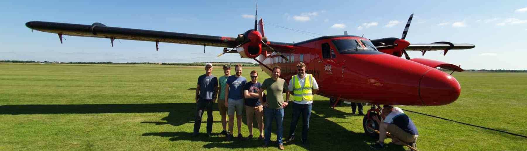
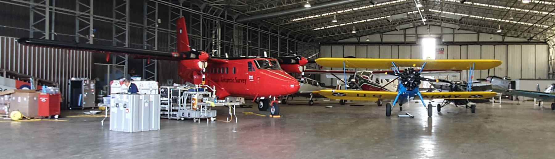
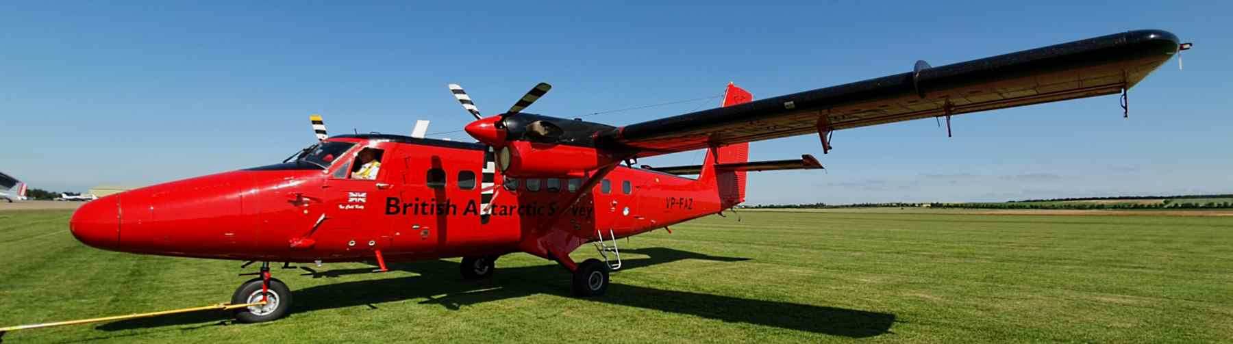
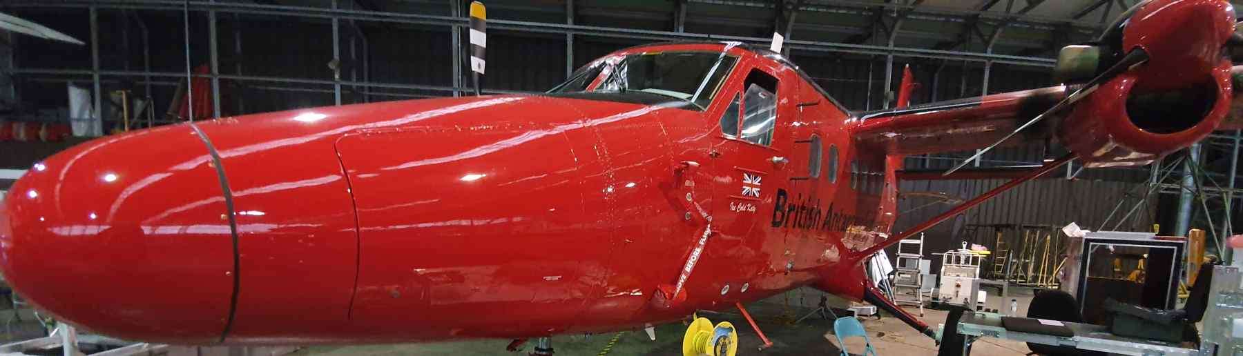
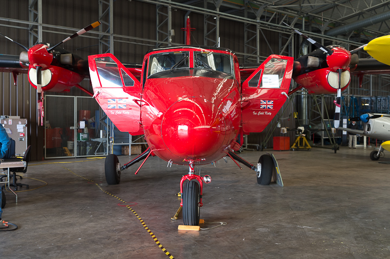
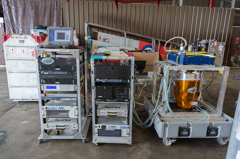
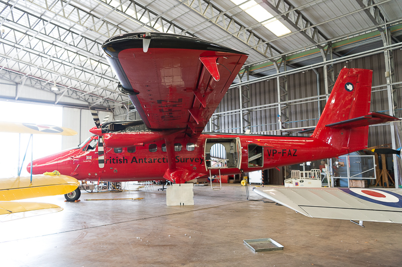
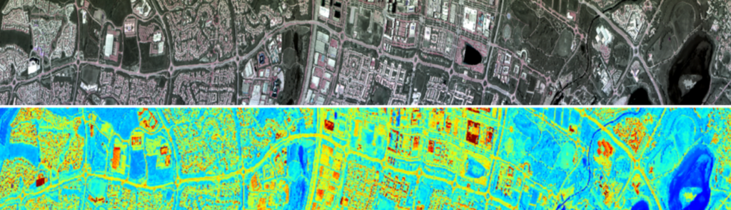
Core NET-Sense activities focused on airborne data collection over target sites in the UK and Italy using HyTES , a state-of-the-art thermal imaging hypespectral radiometer designed, manufactured and operated by NASA’s Jet Propulsion Laboratory. Our group collaborated with the JPL team on bringing HyTES to Europe, fitting it to a UK aircraft and operating it for the first time outside of North America alongside our own airborne instrumentation, including a Fenix hyperspectral imager which measures reflectance across VIS to SWIR wavelengths.
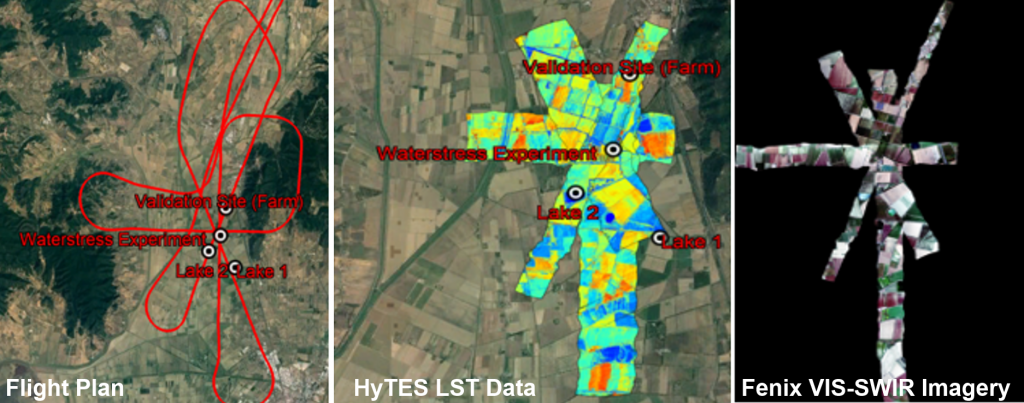
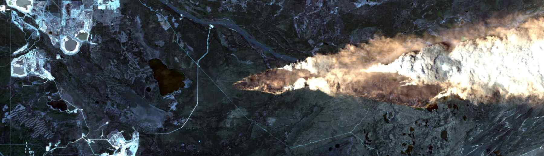
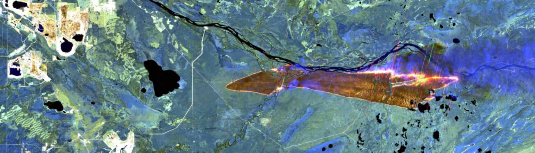
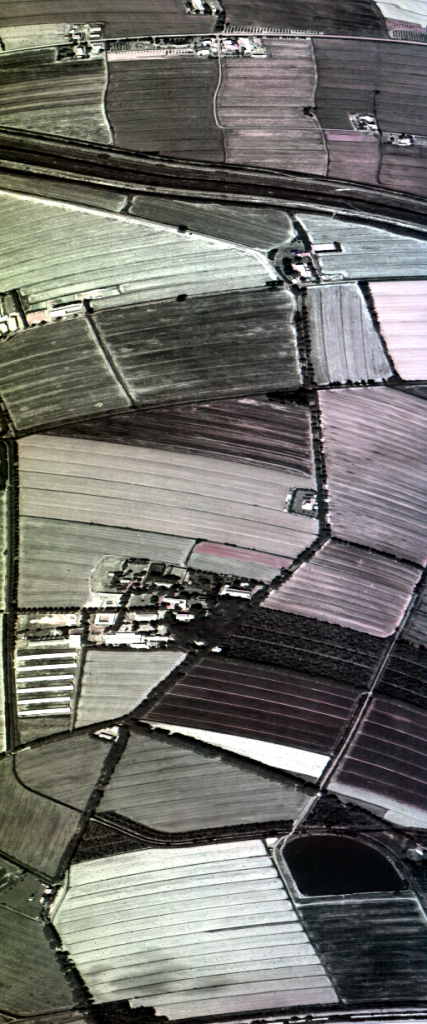
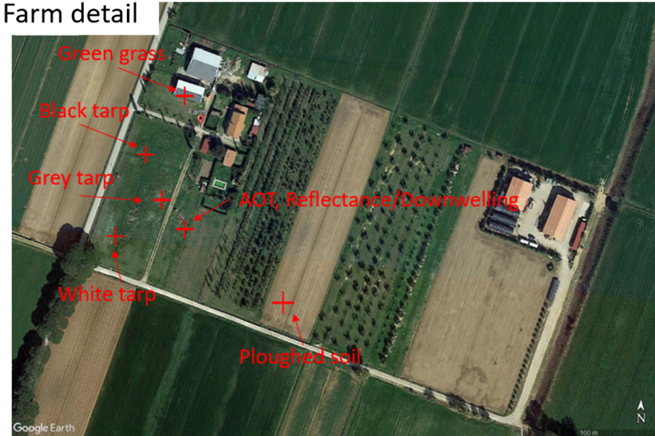
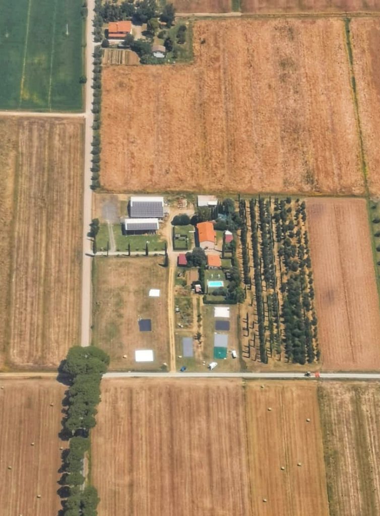
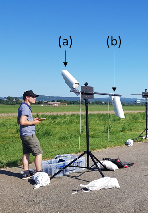
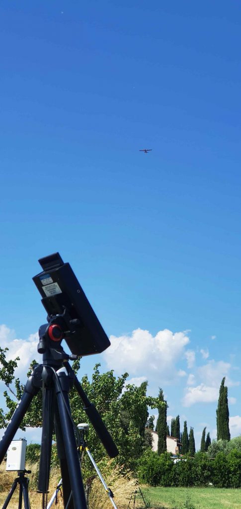
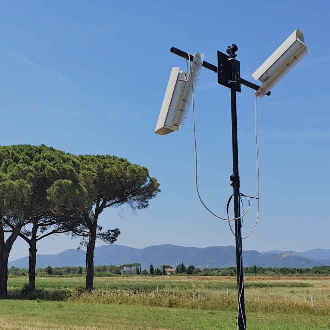
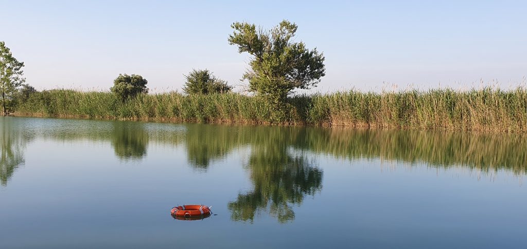
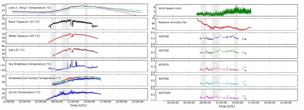
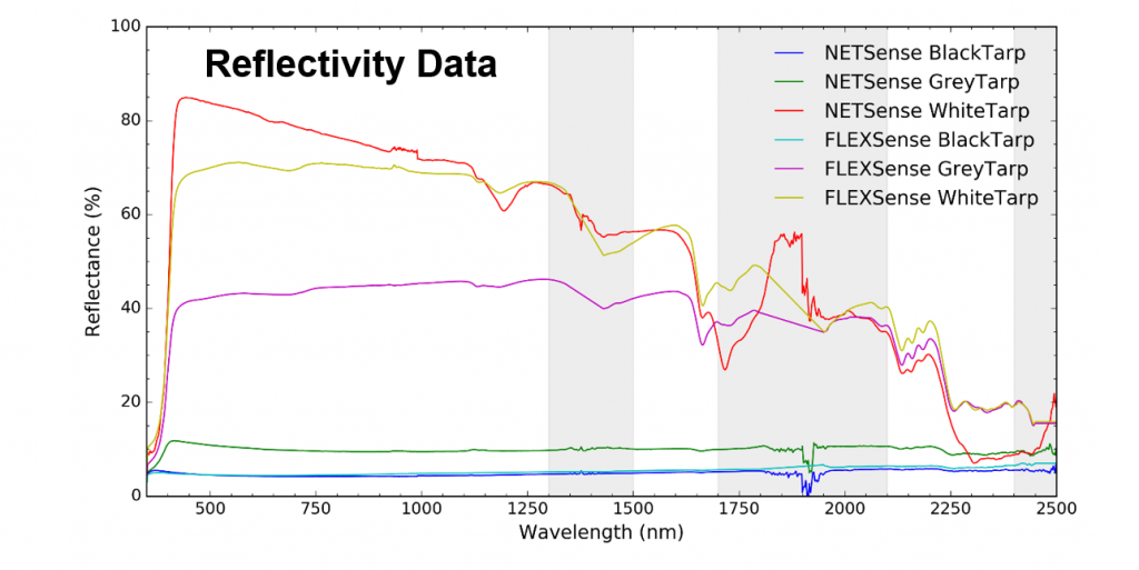
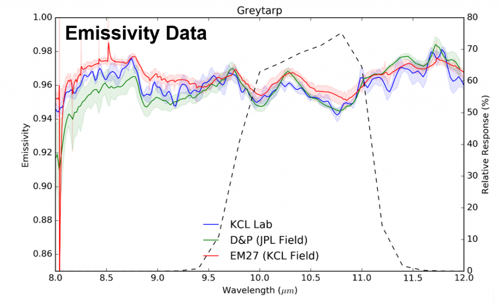
For the Italian part of the campaign, the BAS Twin Otter aircraft was based at Sienna airport (Tuscany). The main location targeted by the overflights was farmland close to Grosseto where in situ (ground sensors) deployed included floating buoys located in water bodies to measure water surface temperature and LWIR radiometers and other devices deployed at a farmland site to estimate land surface temperature (LST) – including on calibation tarpaulins providing targets of know spectral reflectance and emissivity. Further instruments included a sun photometer to measure aerosol optical thickness (AOT), and an FTIR to measure the spectral distribution of downwelling IR light. Measurements to calculate the surface spectral emissivity of some of the ground materials were also obtained. Similar data were obtained at Sienna Airport.
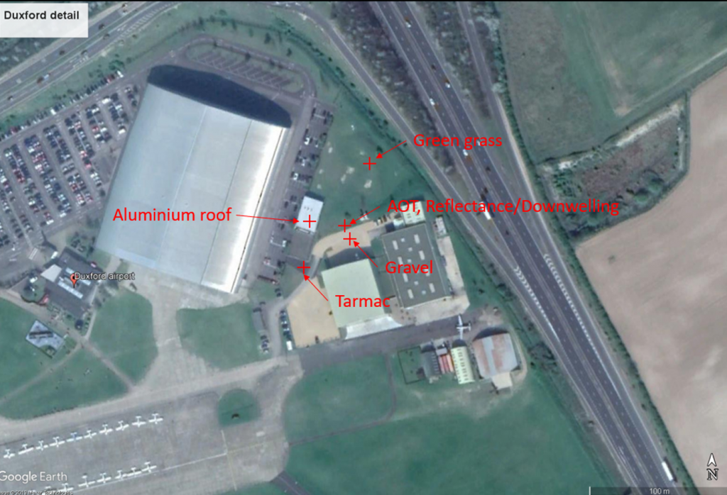
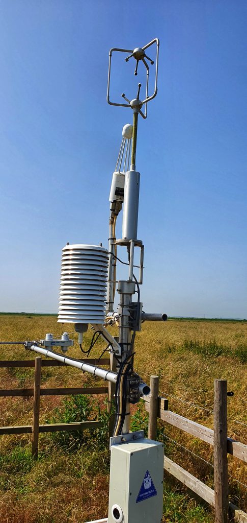
In the UK the aircraft was based at Duxford Aerodrome (Cambridgeshire) and ground measurements were conducted at the aerodrome itself, along with Milton Keynes and series of eddy covariance flux towers located around east and southeast England operated by NERC Center for Ecology and Hydrology. Grafham water provided a large water body target for measuring water surface temperature.

King’s College London, Bush House (NE wing), 30 Aldwych, London, WC2B 4BG