
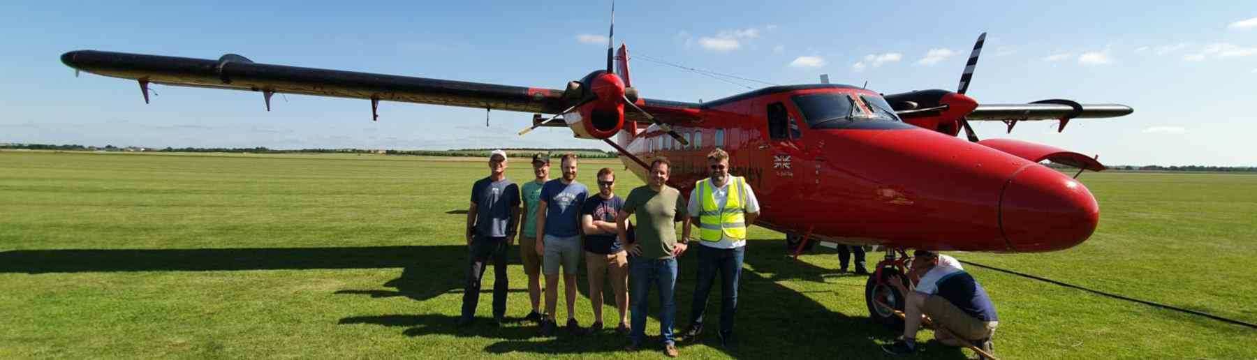
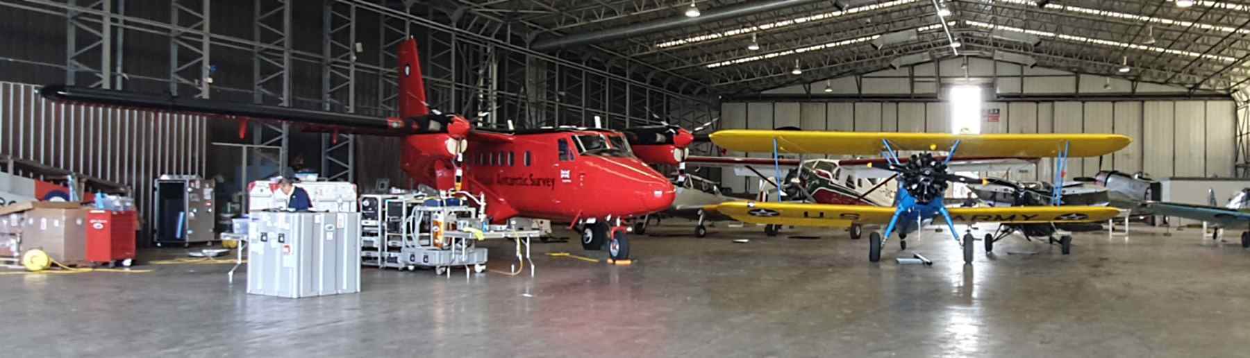
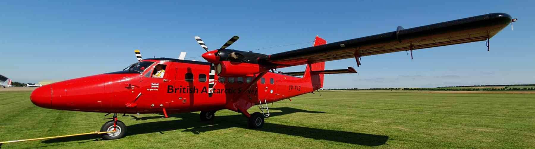
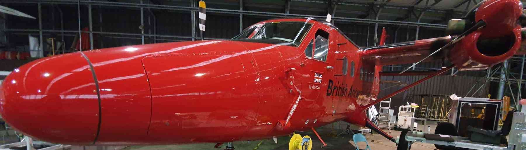
Airborne Platform
The Telops can be Integrated with the Aircraft and used as an Airborne Instrument


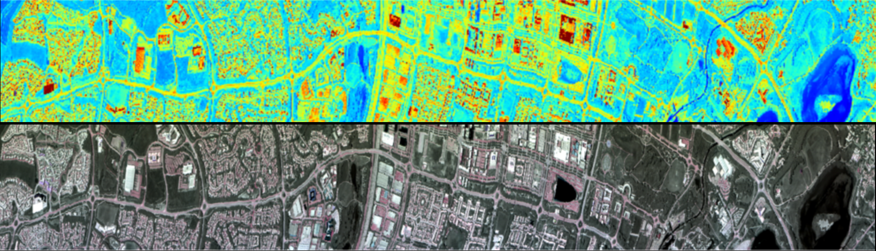

The Telops HyperCam is an imaging passive Longwave Infrared (LWIR, 7.76-11.8μm) Imaging system, with 280 spectral bands with a user selectable resolution ranging from 0.25 to 1.50cm-1.
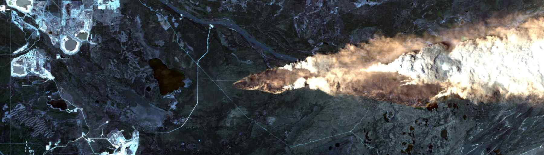
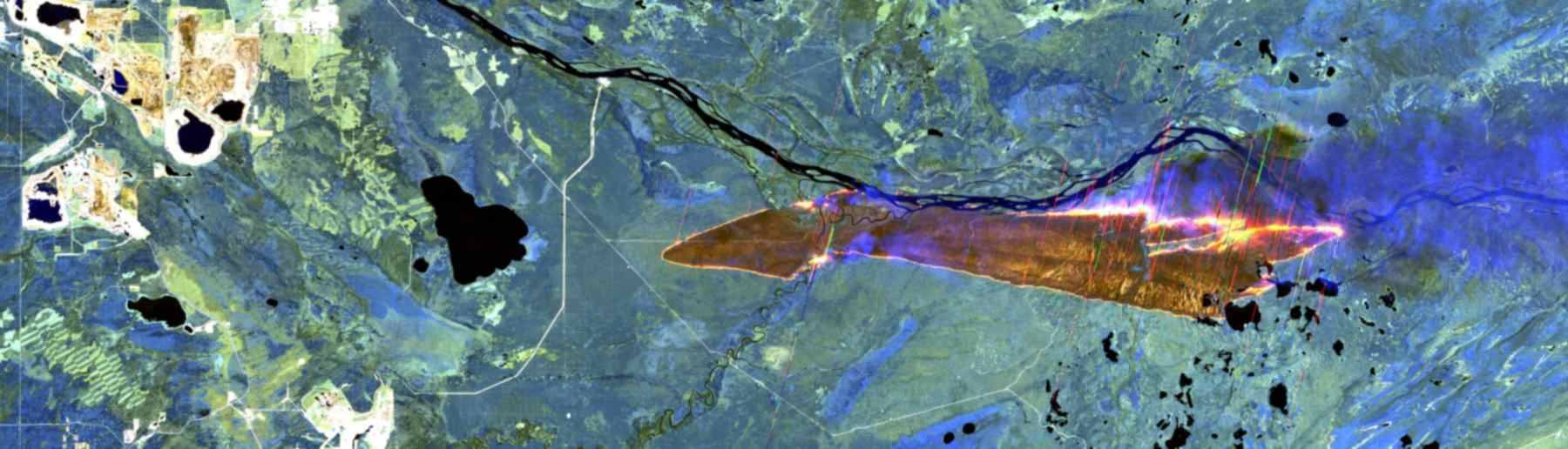
Hypercam uses Fourier-transform infrared radiometry (FTIR) to detect the spectral signature of various gases with a focal plane array detector (320×256 pixels) that can be customised to fit desired image size and acquisition time. A two-dimensional interferogram is created for each pixel, which are transformed into data cubes of spatially resolved images. The selectivity brought by high-resolution infrared hyper-spectral imaging allows for data to be radiometrically calibrated for gas and mineral detection, as well as estimating changes in mass from gas plumes. The data is recorded as a function of time allowing for temporal analysis of gas dispersions from events.
The HyperCam Methane is specifically designed for the detection and imaging of methane emissions. It functions the same as the LW with the same number of spectral bands (280) but is focussed over a smaller spectral range (7.4-8.3μm), which includes the highly absorbing 7.7μm band of Methane.
The smaller range increases spectral resolution, improving methane visualisation as well as removing the chance of false positives coming from other gases. The camera can identify methane at low concentrations (>1ppm) and flow rates (2 litres/min. at 100m). This can be used for environmental monitoring of emissions from permafrost, lakes, wildfire and peatland. The sensor can generate calibrated hyperspectral images in real-time at high data rates.

Adler-Golden, et al., (2014). Long-wave infrared surface reflectance spectra retrieved from Telops Hyper-Cam imagery. In Algorithms and Technologies for Multispectral, Hyperspectral, and Ultraspectral Imagery XX (Vol. 9088, pp. 247-254). SPIE.
Adler-Golden, et al., (2014). Remote sensing of surface emissivity with the telops Hyper-Cam. In 2014 6th Workshop on Hyperspectral Image and Signal Processing: Evolution in Remote Sensing (WHISPERS) (pp. 1-4). IEEE.
Rock, G., et al., (2016). Plant species discrimination using emissive thermal infrared imaging spectroscopy. International journal of applied earth observation and geoinformation, 53, pp.16-26.
Gålfalk, M., et al., (2022). Ground-based remote sensing of CH4 and N2O fluxes from a wastewater treatment plant and nearby biogas production with discoveries of unexpected sources. Environmental Research, 204, p.111978.
Gålfalk, M., et al., (2016). Making methane visible. Nature Climate Change, 6(4), pp.426-430.
Foucher, P.Y. and Doz, S., (2019). Real Time Gas Quantification Using Thermal Hyperspectral Imaging: Ground and Airborne Applications. NATO
King’s College London, Bush House (NE wing), 30 Aldwych, London, WC2B 4BG