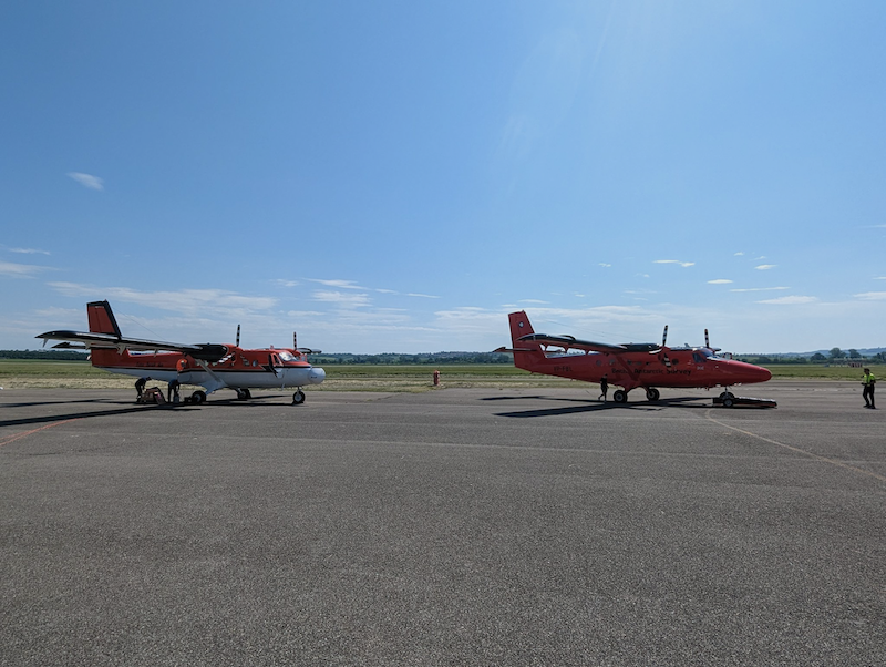
Throughout May and June of 2023 the NAEO participated in a multi-institutional campaign, investigating the effect of viewing angles on thermal retrievals from hyper-spectral instruments. The campaign was an international collaboration funded by the European Space Agency (ESA) and NASA, involving the use of two Twin Otter aircrafts to take simultaneous measurements of agricultural sites near Grosseto, Italy.

The campaign was in support of the future Land Surface Temperature Monitoring (LSTM) satellite mission which is due to launch in 2028. LSTM will record daily land surface temperature (LST) data over urban and agricultural land across the globe, from which evapotranspiration (ET) can be derived. LST and ET are both key variables to understand and respond to climate variability and improve agricultural productivity particularly in combating increasing water scarcity and variability.
The purpose of the study was to determine how the measurement of LST would be affected by the angle at which the LSTM satellite would view the surface. To understand this impact, two thermal hyperspectral imagers were deployed on separate aircraft and these aircraft flown simultaneously over agricultural and urban environments around Siena and Grosseto in Italy.
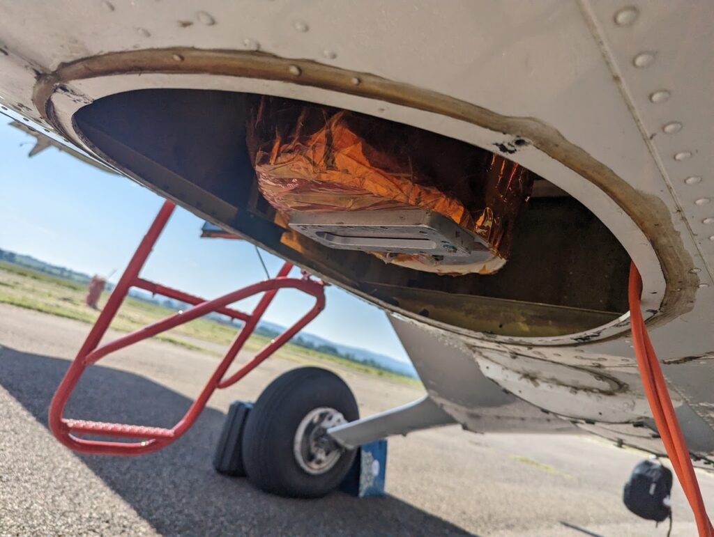
NAEO’s equipment was flown on the British Antarctic Survey (BAS)’s Twin Otter. A suite of sensors was flown, the main sensor which was the OWL. This sensor was mounted in a specially designed system, which could tilt the instrument, enabling the sensor to view up to (and beyond!) the anticipated maximum view angle of the LSTM satellite. The mount was mechanised, which allowed for mid-flight changes in the viewing angle through a custom-made controller. The system could rotate to any degree from 0 to 36 enabling for a range of retrievals from differing viewing angles. A second aircraft operated by Kenn Borek Air (KBA), flew the Hyperspectral Thermal Emission Spectrometer (HyTES), a hyperspectral sensor that was designed and operated by NASA’s Jet Propulsion Laboratory (NASA-JPL). HyTES focussed on the low angle observations, while the OWL sensor was used to collect high-angle observations. The two aircraft allowed for simultaneous data acquisitions of the same target from differing viewing angles.
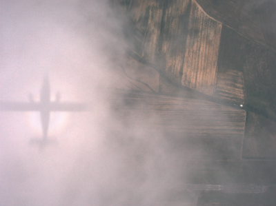
Ground Campaign activities:
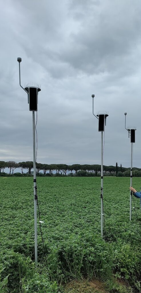
Members of the KCL team also took ground based measurements to aid the airborne dataset in its objectives. There were three components of the ground based activities:
1. Validation: taking ‘ground-truth’ measurements of LST and ET to assess the accuracy of the airborne retrievals;
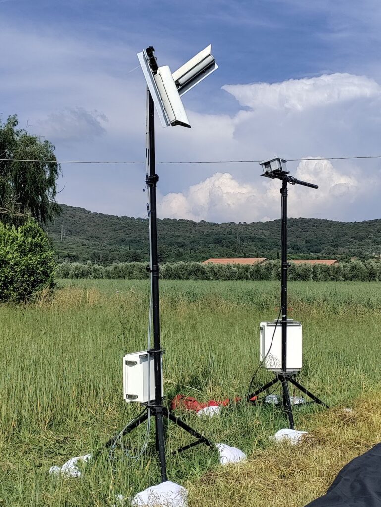

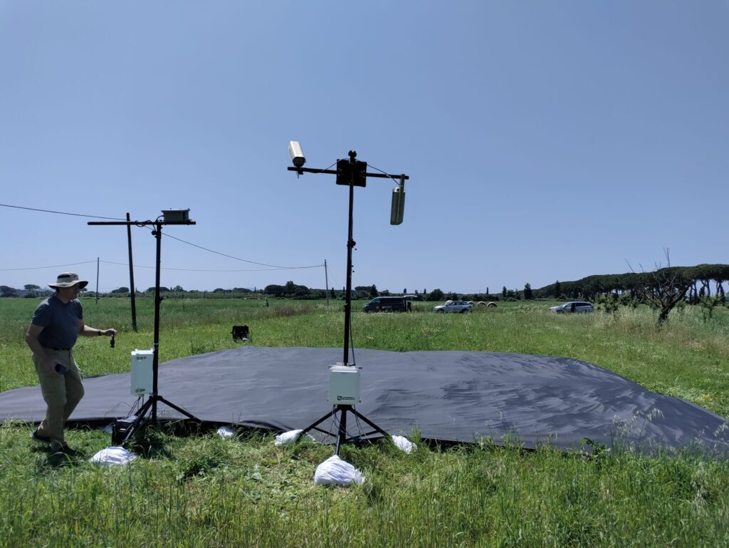
2. Atmospheric corrections of airborne data: collecting in-situ observations of spectral reflectance measurements of reference tarpaulins and ground measurements of aerosol optical depth (AOD) to enable atmospheric correction;
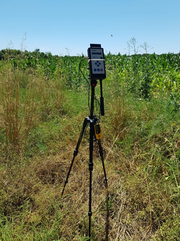
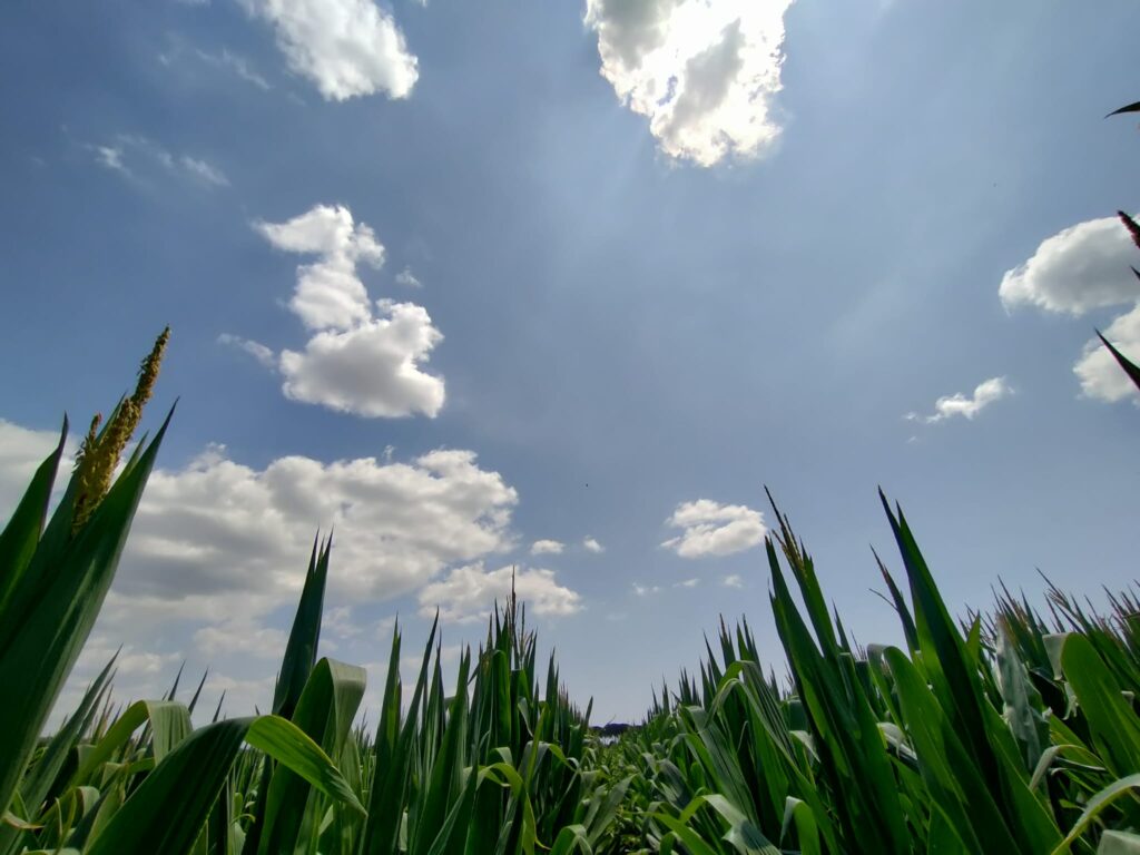
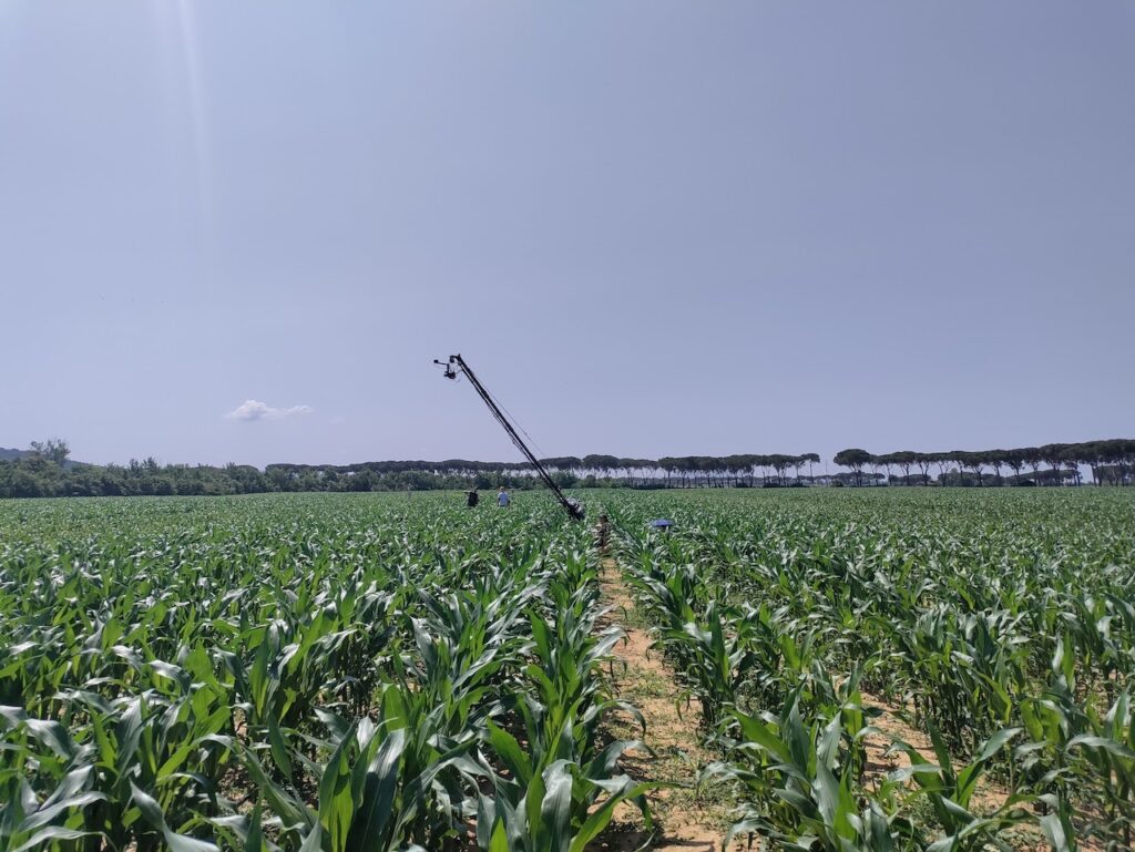
3. Multi-angular LST measurements: Dedicated multi-angular experiments over different crops alongside the team from the University of Milano-Bicocca (UNIMIB) using two specially designed systems, KCL’s “Brontosaurus”, a repurposed camera boom equipped with thermal sensors, capable of looking at the same point from various viewing angles in quick success – and UNIMIB’s “Spectrophant”, which is an automatic system to collect multi-angular data in both the visible and the infrared regions.

King’s College London, Bush House (NE wing), 30 Aldwych, London, WC2B 4BG