The Earth Observation and Wildfire research group were commissioned by ESA to develop fire products from observations made by their Sentinel-3 satellites. These products are used by a variety of stakeholders, including those in both research and fire response. It is crucial that these products are validated to ensure their accuracy. One of these products is Fire Radiative Power (FRP), an important parameter in Fire Science. It signifies the rate of radiation being produced, a useful indicator to the intensity of a wildfire to responders. It has also been found to be directly proportional to the rate the fire is burning its fuel, and therefore it is an important components in emissions calculations.
In 2018, KCL conducted two airborne campaigns to collect high spatial resolution measurements of landscape fires during Sentinel-3 overpasses. These airborne-spaceborne matchups can then be compared to each other to validate the satellite products.
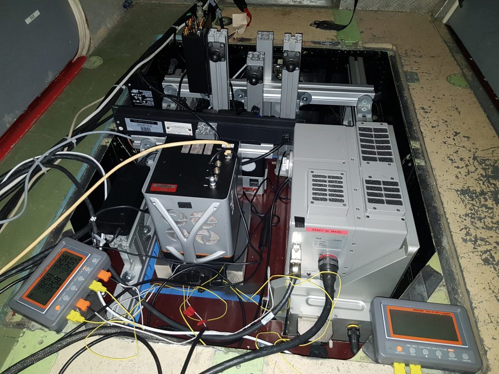
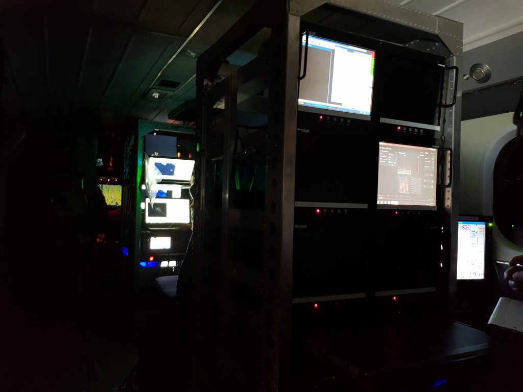
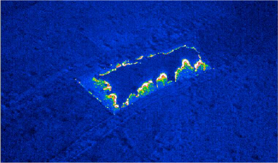
The 2018 work consisted of two airborne components. The first was carried out in Northwestern Ontario using a fixed-wing aircraft. This was a British Antarctic Survey Twin Otter, which is made available for science campaigns during the Antarctic winter. A variety of remote sensing instruments were installed in the viewing bay of the aircraft. The main sensor was a mid infrared (MIR) thermal camera. This was fitted with a spectral filter replicating the response of the SLSTR instrument that is used to take measurements from Sentinel-3.
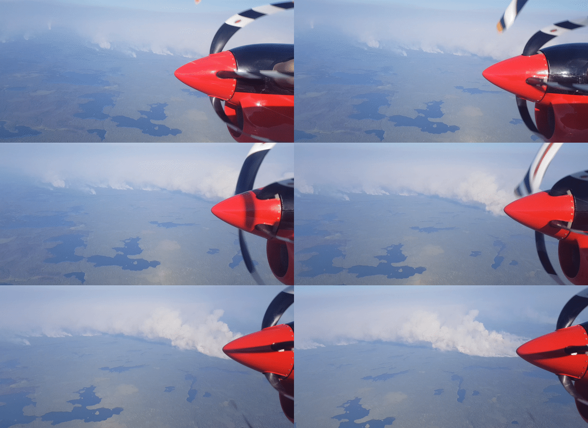
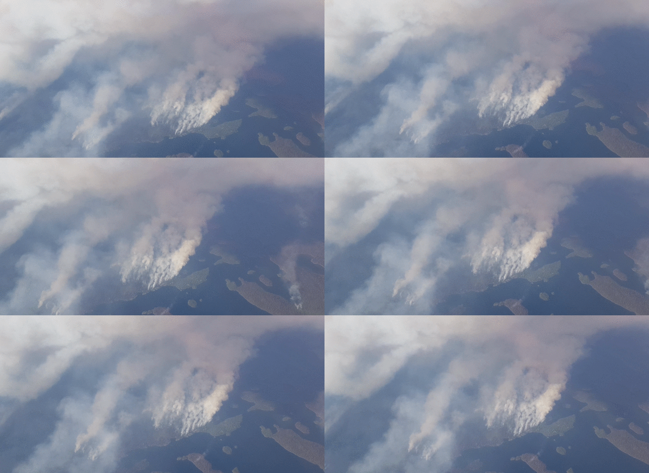
The MIR waveband camera was configured to take images with different exposures so that thermal measurements with a high dynamic range could be collected.
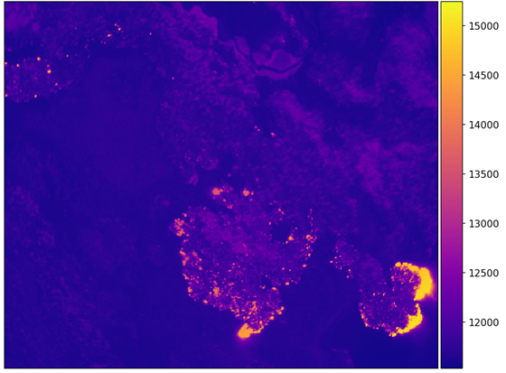
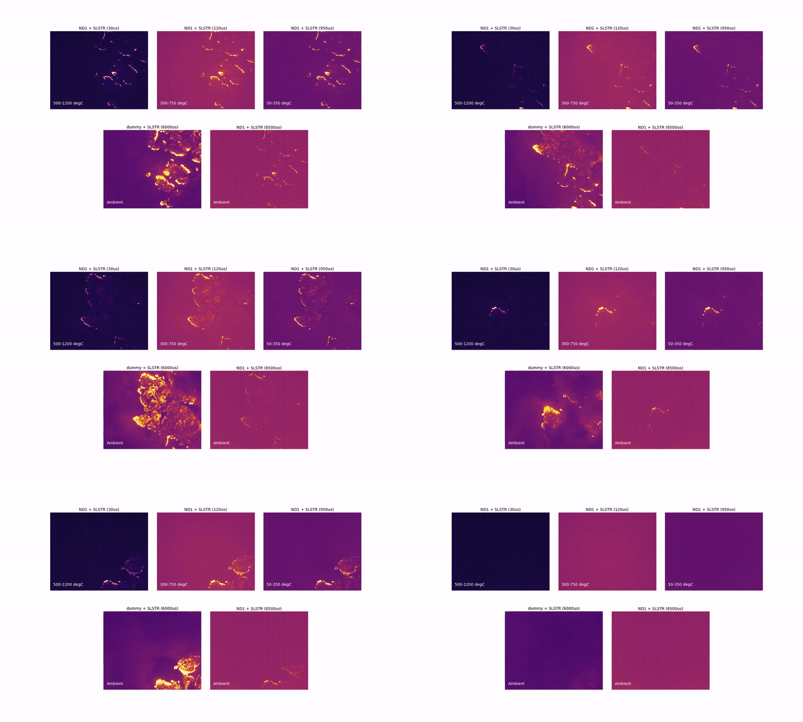
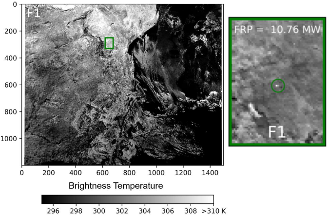
The Sentinel-3 SLSTR satellite imagery (left below) were then compared to the simultaneous airborne measurements (right below) calculated from the MIR airborne imagery.

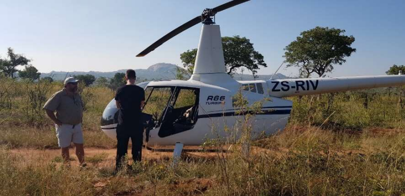
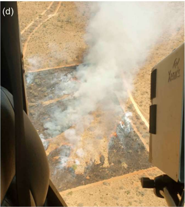
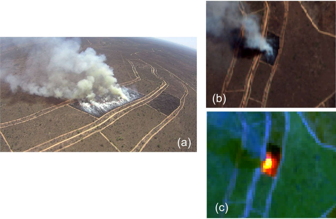
The second airborne study in 2018 was conducted at Kruger National Park in South Africa. There are many prescribed burns of sparsely wooded savanna on the Park every year as part of a long term ecological experiment. During our campaign, these fires were lit by the South Africa National Parks Service team so that their maximum extent coincided with Sentinel-3 overpasses. Instead of mouting the thermal cameras to a fixed-wing aircraft, they were mounted from a helicopter. The helicopter slowly rotated around the 7 ha burning plot for the duration of the fires, generally around 30 minutes.
In 2023 the original scientific goals of the 2018 project were repeated, with the aim of increasing the number of wildfires and range of FRP retrievals in the airborne/spaceborne comparison data set. This campaign utilised another MIR thermal camera, the Infratec ImageIR 8300 instead of the Xenics ONCA, due to its better frame rate and resolution.
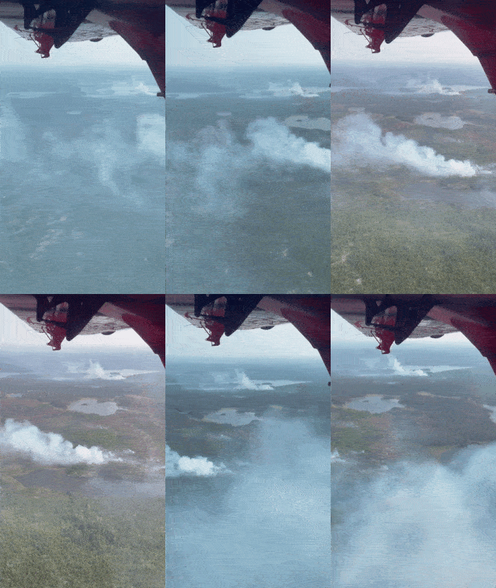
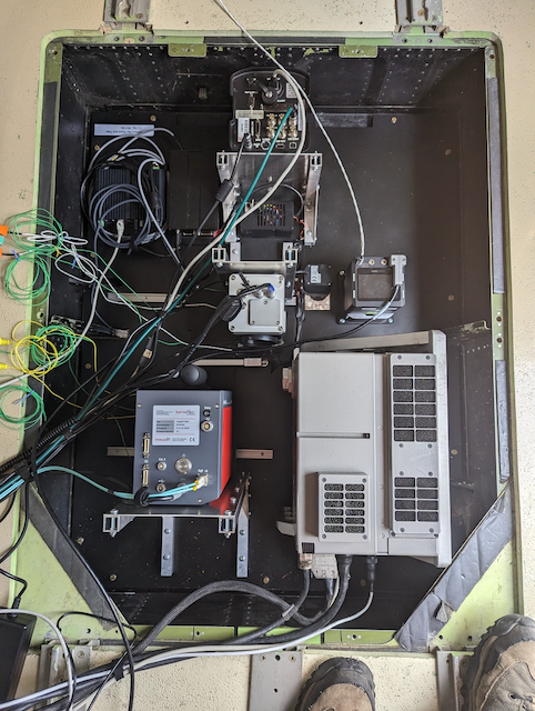
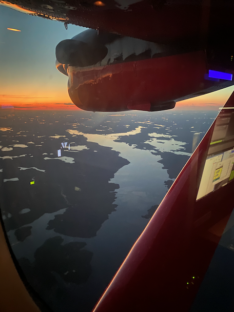
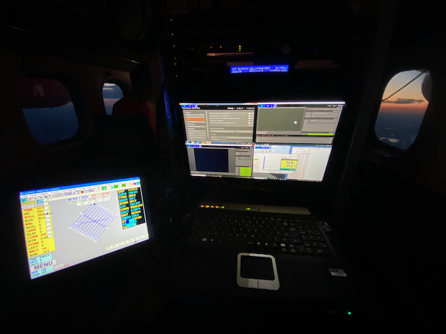
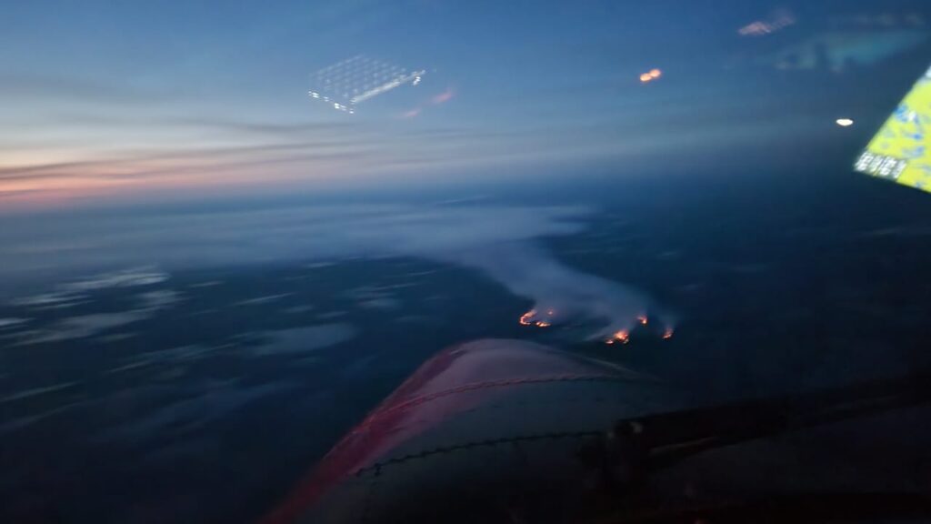
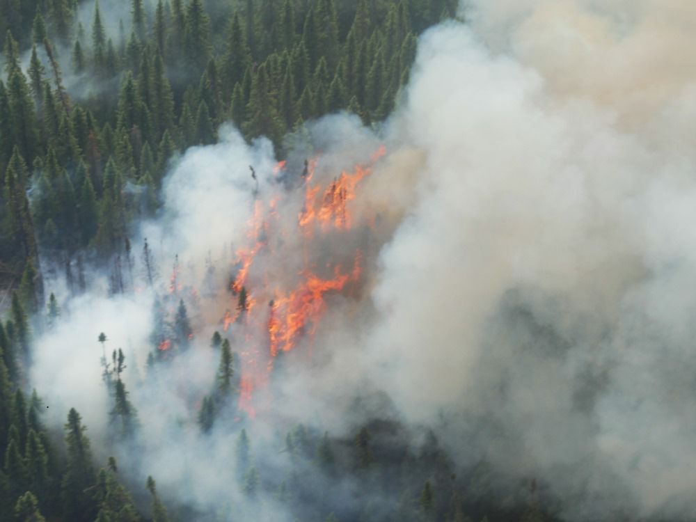
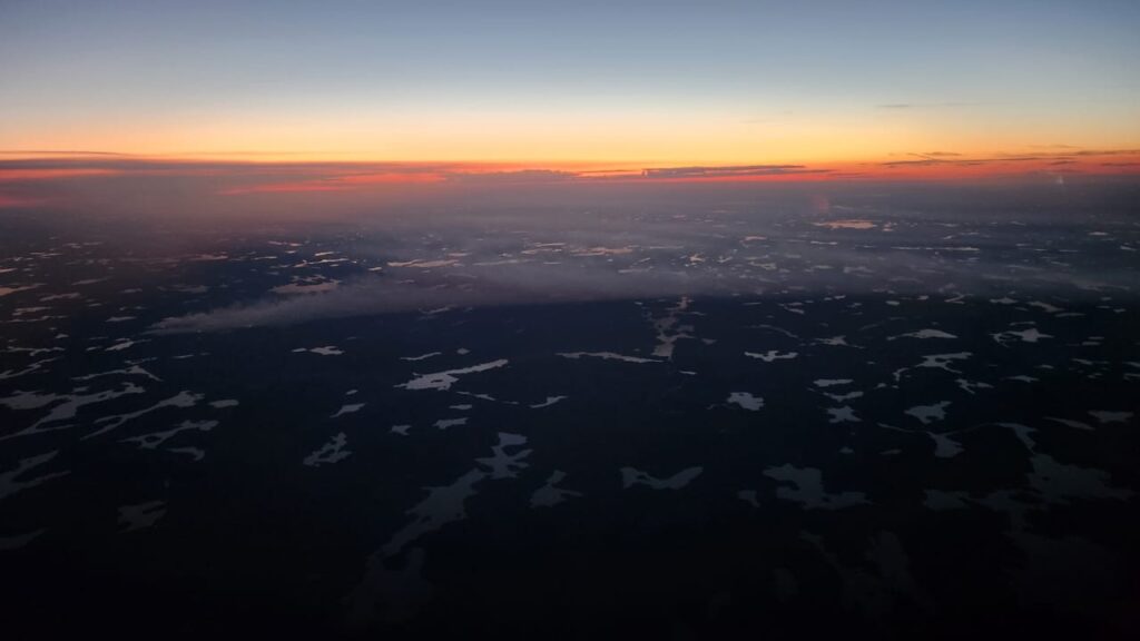
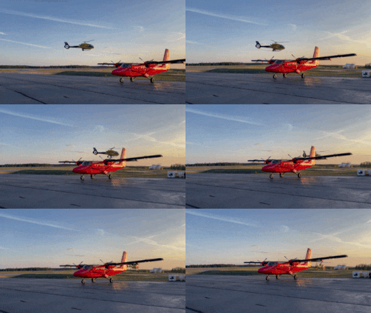
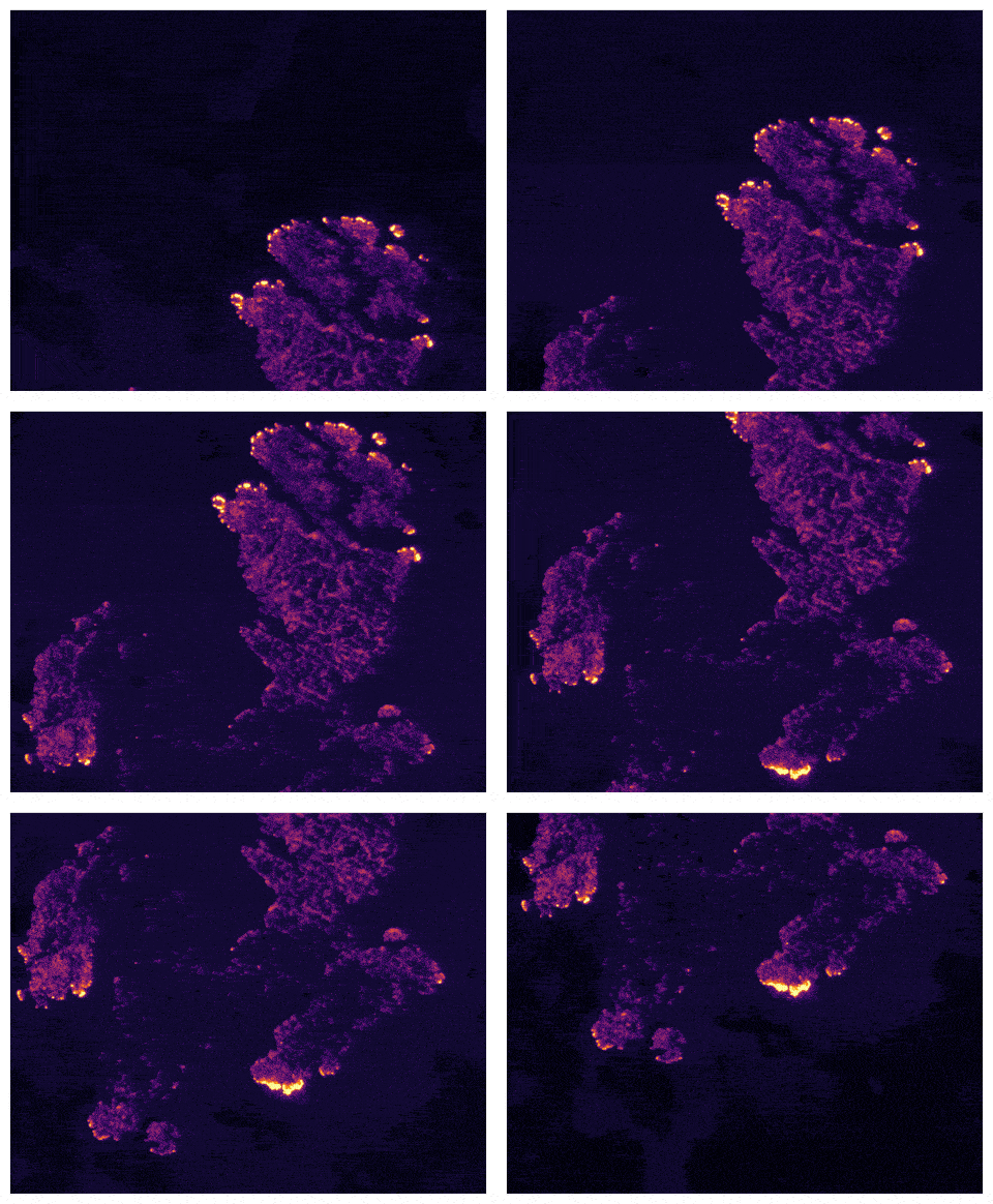
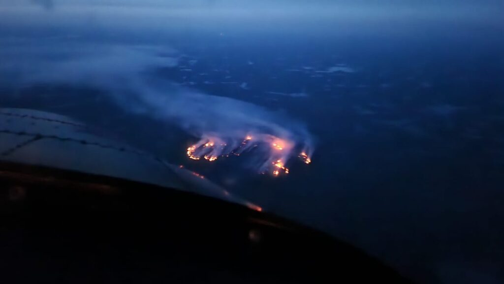
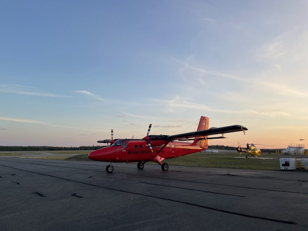
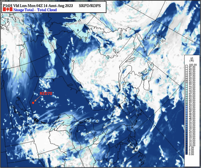
For successful flights, the campaign required a suitable fire target, clear weather and a good satellite overpass. Using previous fire detection, multiple weather forecasts, Fire Weather Index (FWI) forecasts and satellite overpass trajectories a decision was made every morning and night on whether or not a flight should go ahead.
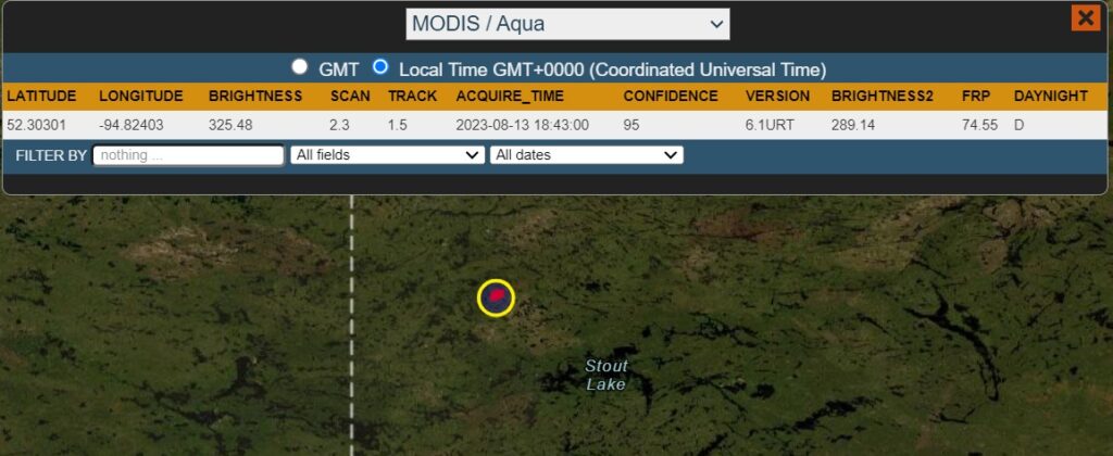
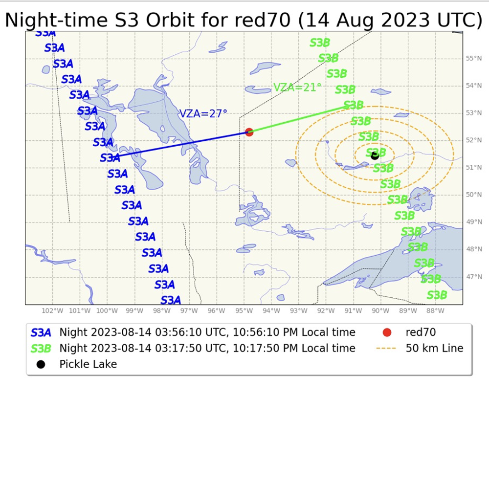
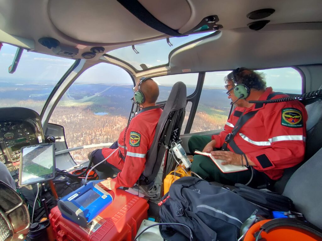
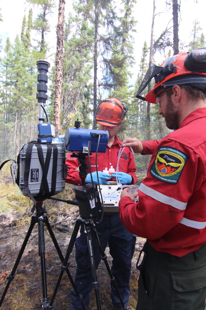
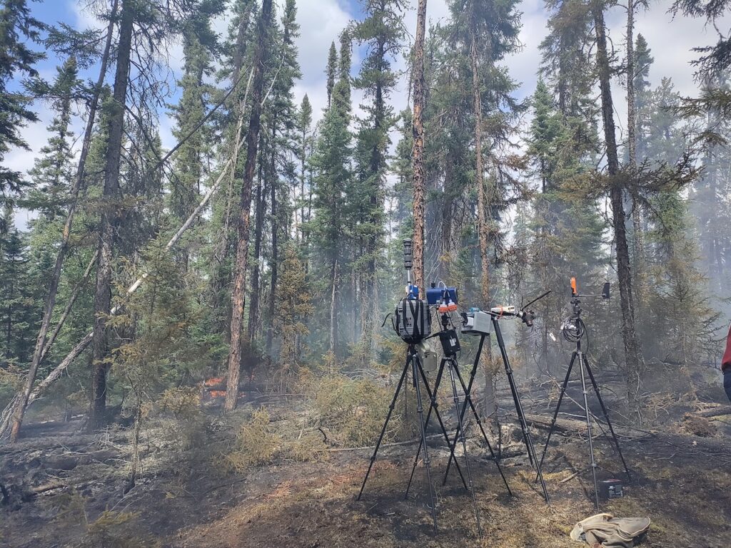
The campaign also set out to investigate a range of other science objectives. Unlike in 2018, the aircraft was fitted with gas and particulate analysers. This allowed in situ measurements of smoke produced by the fires. These smoke characteristics can then be compared to various fire characteristics determined by the remote sensing measurements. This shall provide key insights into how wildfire emissions estimates can be improved.
2023 Canadian Ground Campaign
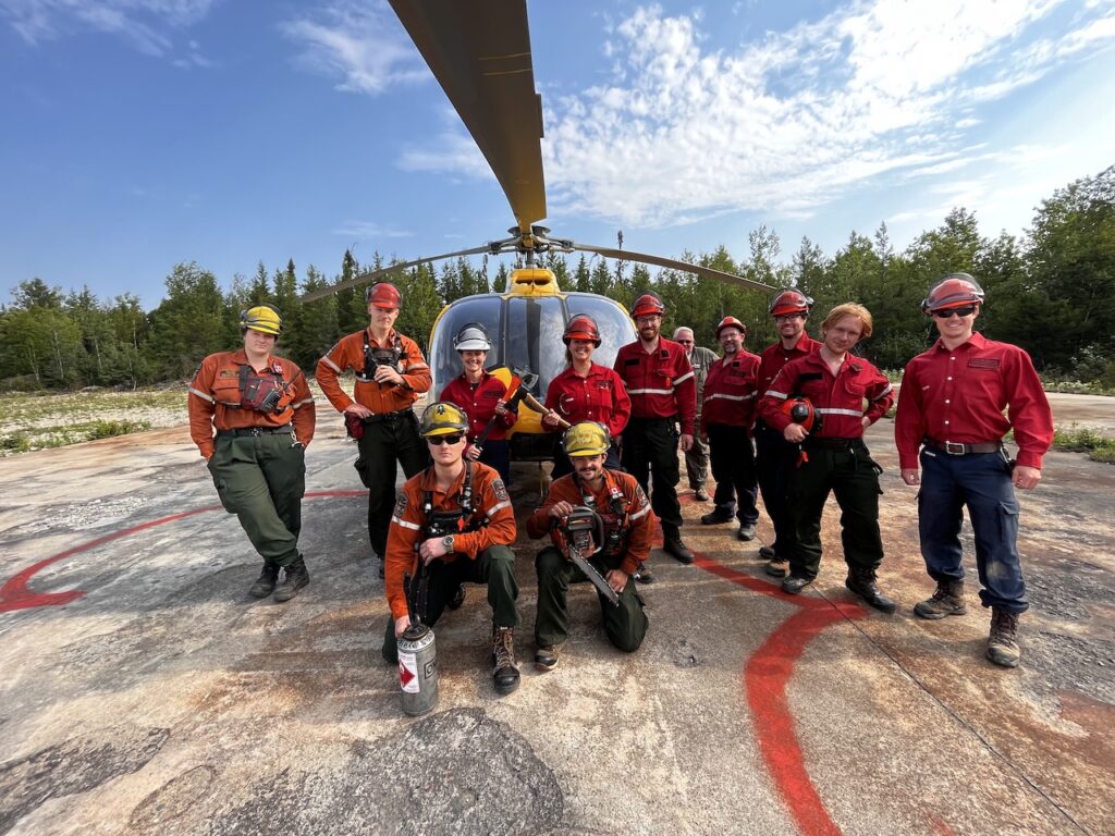
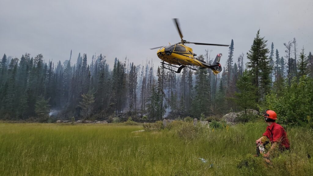
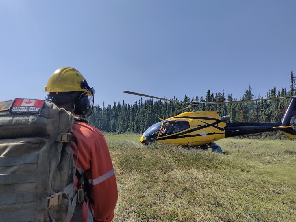
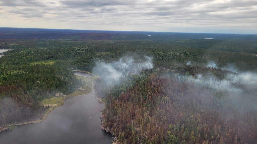
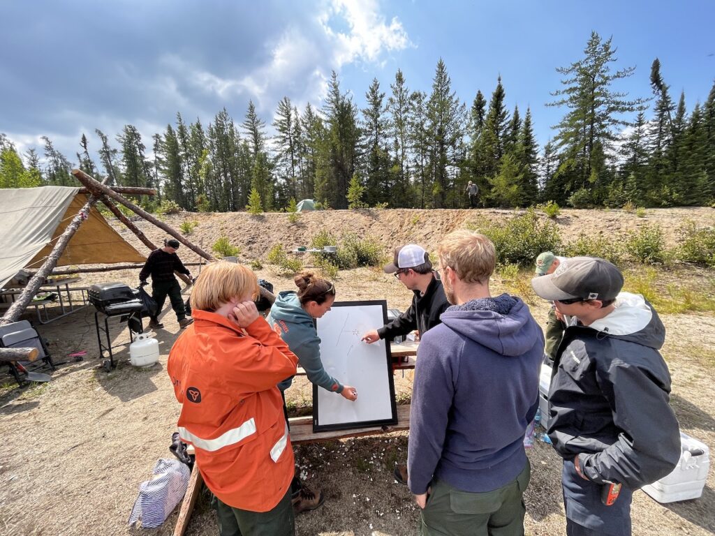
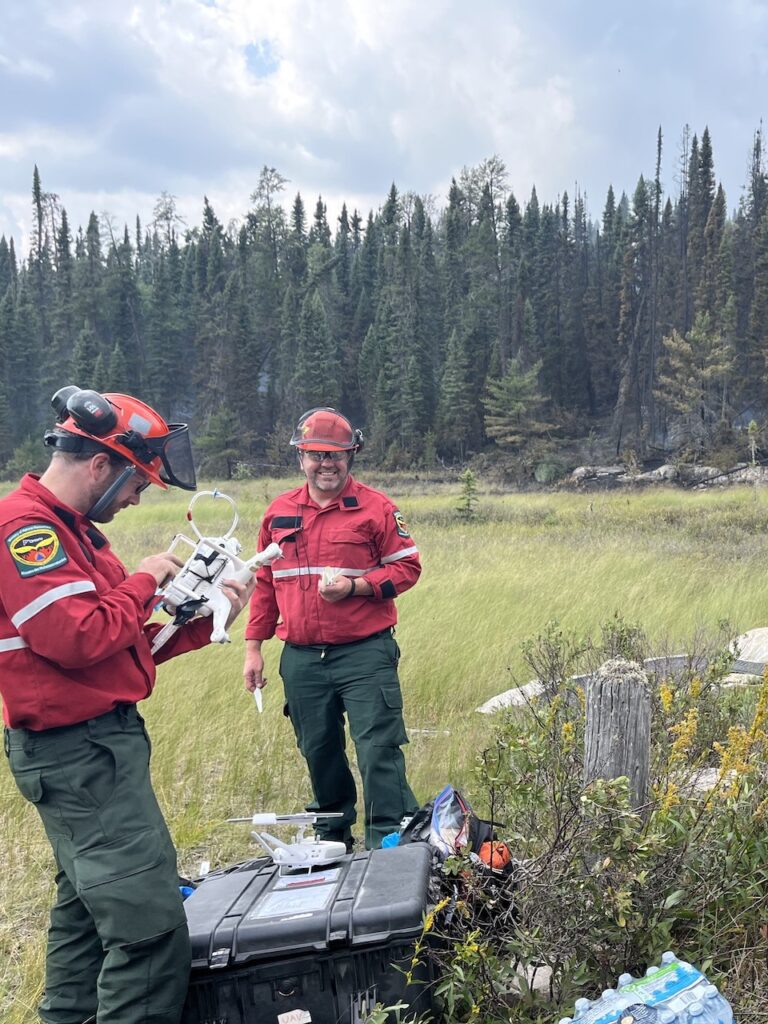
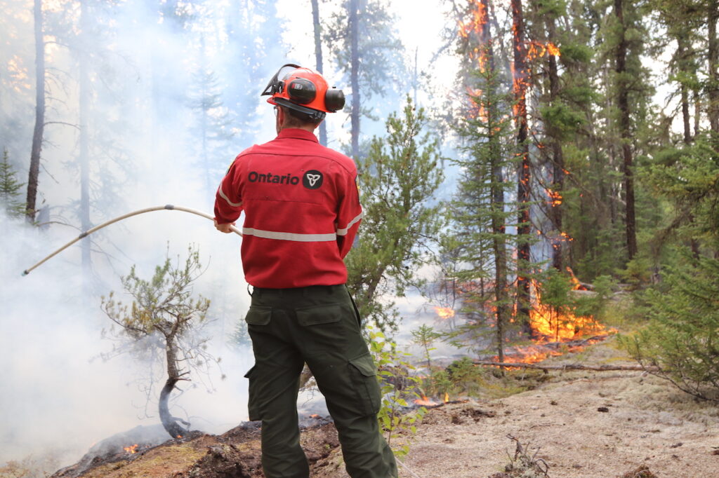
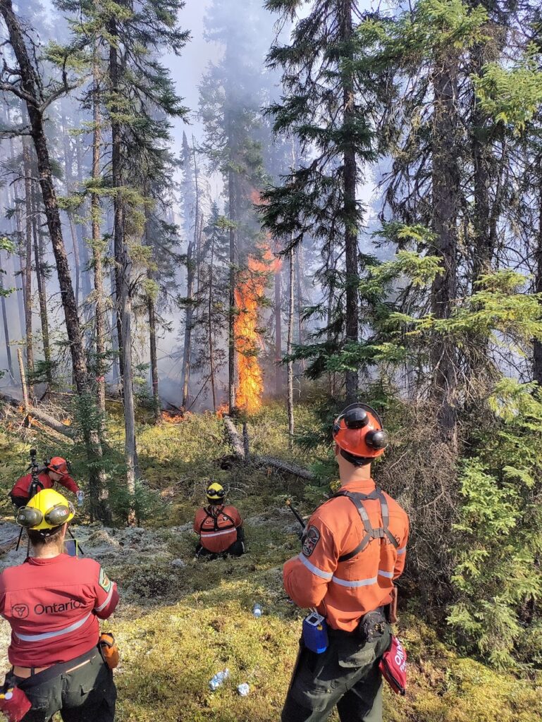
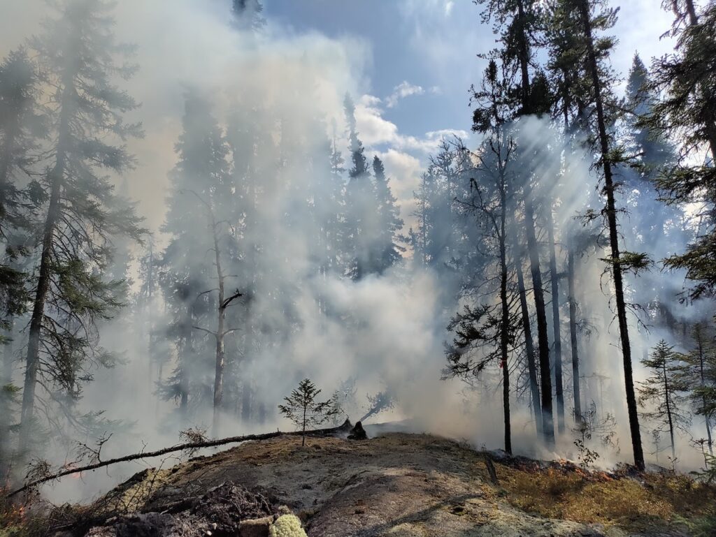
A team from KCL, the Canadian Forest Service (CFS) and the Ontario Ministry for Natural Resources (OMNR) undertook a ground campaign, in conjunction with the airborne activities, based around the SLK033 fire.
King’s College London, Bush House (NE wing), 30 Aldwych, London, WC2B 4BG